Frequent activity
The most-used shared areas and places with concentrated infrastructure, visited and observed throughout the day.
Natural Systems
A seasonal record of weather, wildlife, vegetation, soil, fire, and the small changes that reveal the desert.
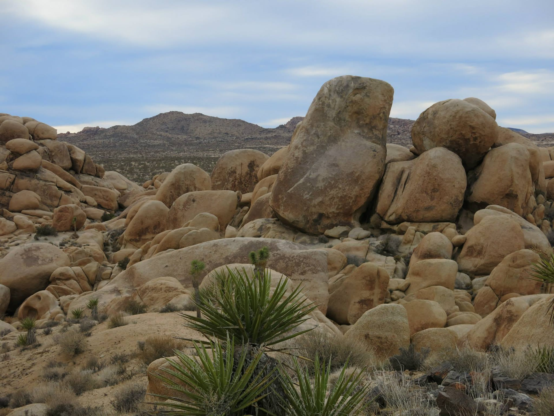
Patterns of Human Use
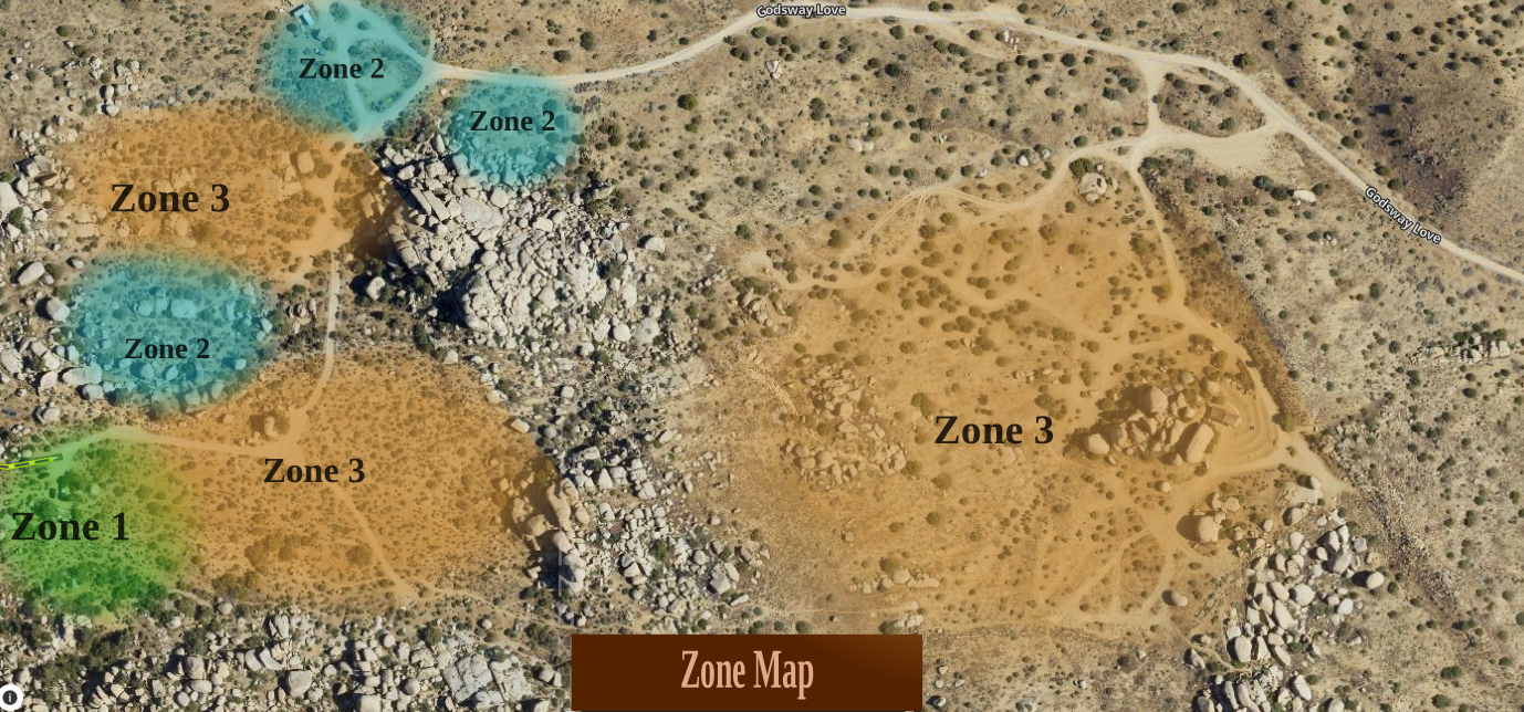
At Boulder Gardens, zones describe patterns of habitation, infrastructure, movement, and human attention. They are not rings around a single garden or residence.
Because the sanctuary has several dispersed living areas, its zones appear as separate islands of activity within a much larger wild landscape. The maps document how the land is currently used and can change as those patterns evolve.
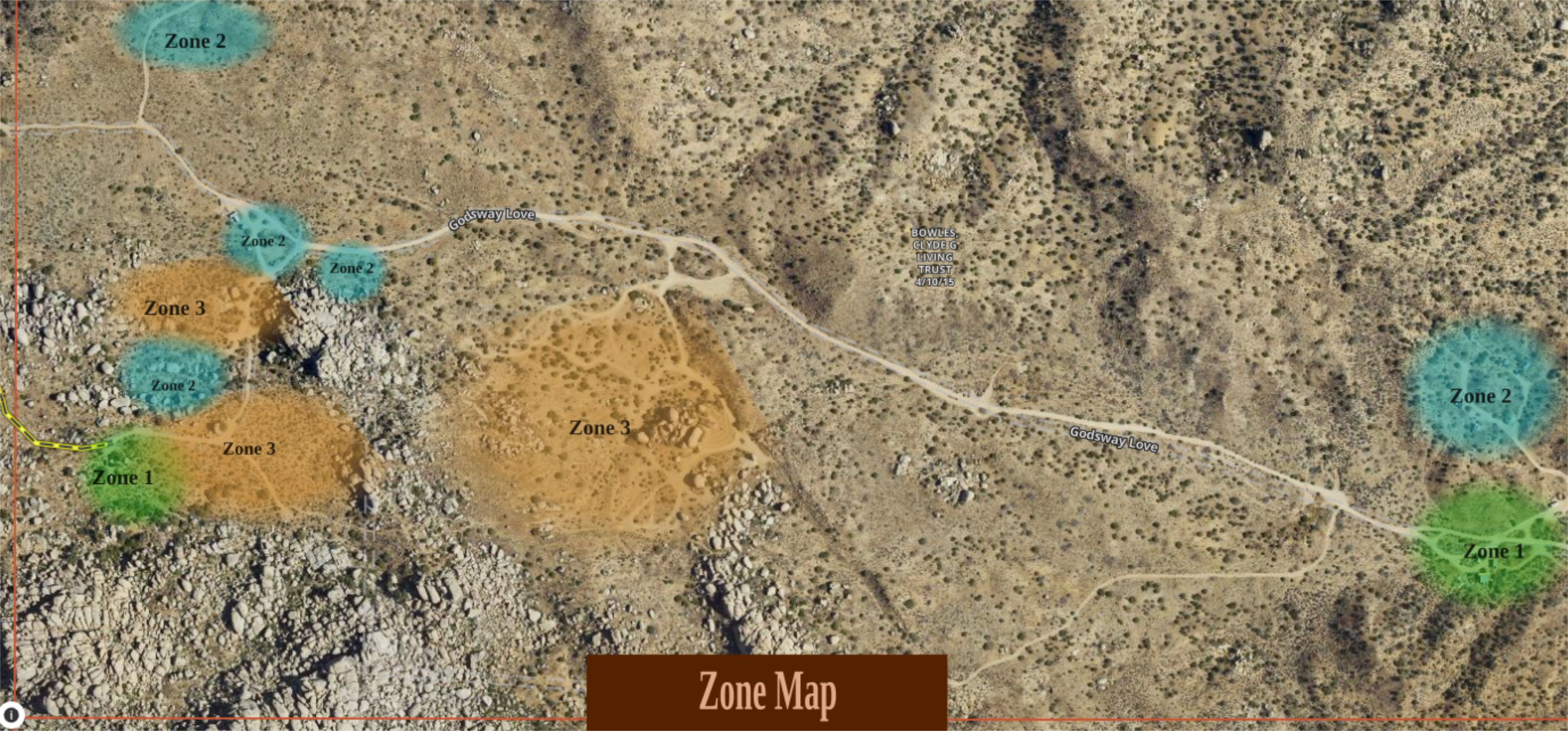
The most-used shared areas and places with concentrated infrastructure, visited and observed throughout the day.
Trailers, tiny homes, yurts, and the immediate surroundings of these private living spaces.
Campsites and places people regularly walk through, gather in, or use less intensively.
Most of Boulder Gardens remains unmarked and completely untouched—a place for habitat, observation, and natural processes.
Desert tortoise, kingsnake, rattlesnake, and autumn tarantula sightings now join tracks, calls, nests, and other observations in the growing wildlife record.
Cholla relocation now joins observations of flowering, fruiting, dormancy, stress, recovery, and other changes in native vegetation.
Moisture, temperature, compost, texture, and erosion.
Fuel, visibility, heat, wind, and fire-watch observations.
Repeated photographs and measurements from fixed locations.
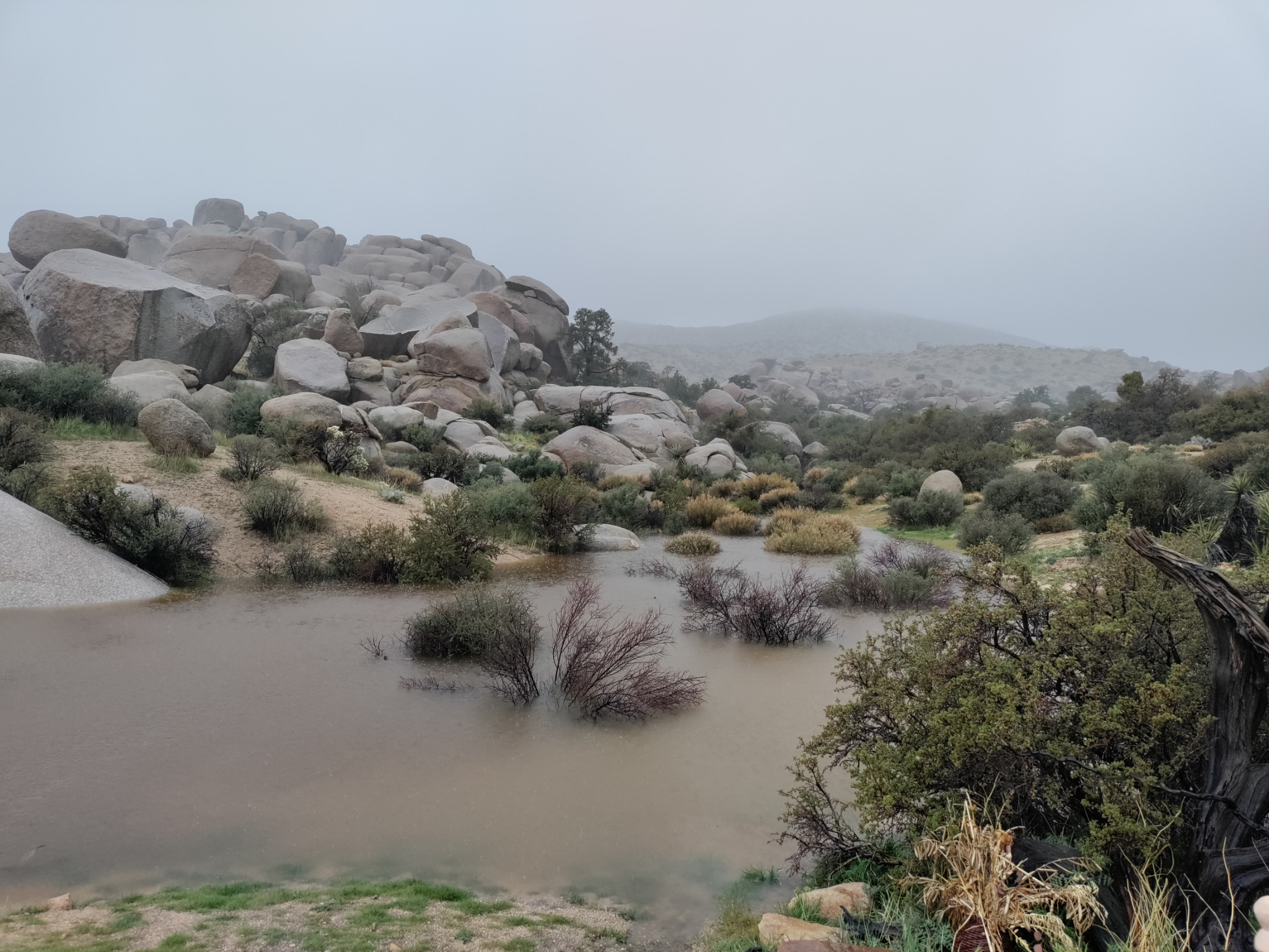
Weather & climate
Rain, temperature, wind, and seasonal change shape nearly every ecological system at Boulder Gardens. This growing record places local observations beside the longer climate history of the surrounding high desert.
Not every observation needs an explanation. Some only need a date.
Land & Ecology · Community observation
Walking the boundary of Boulder Gardens
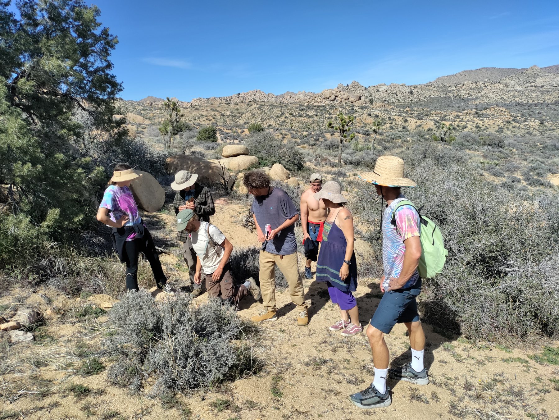
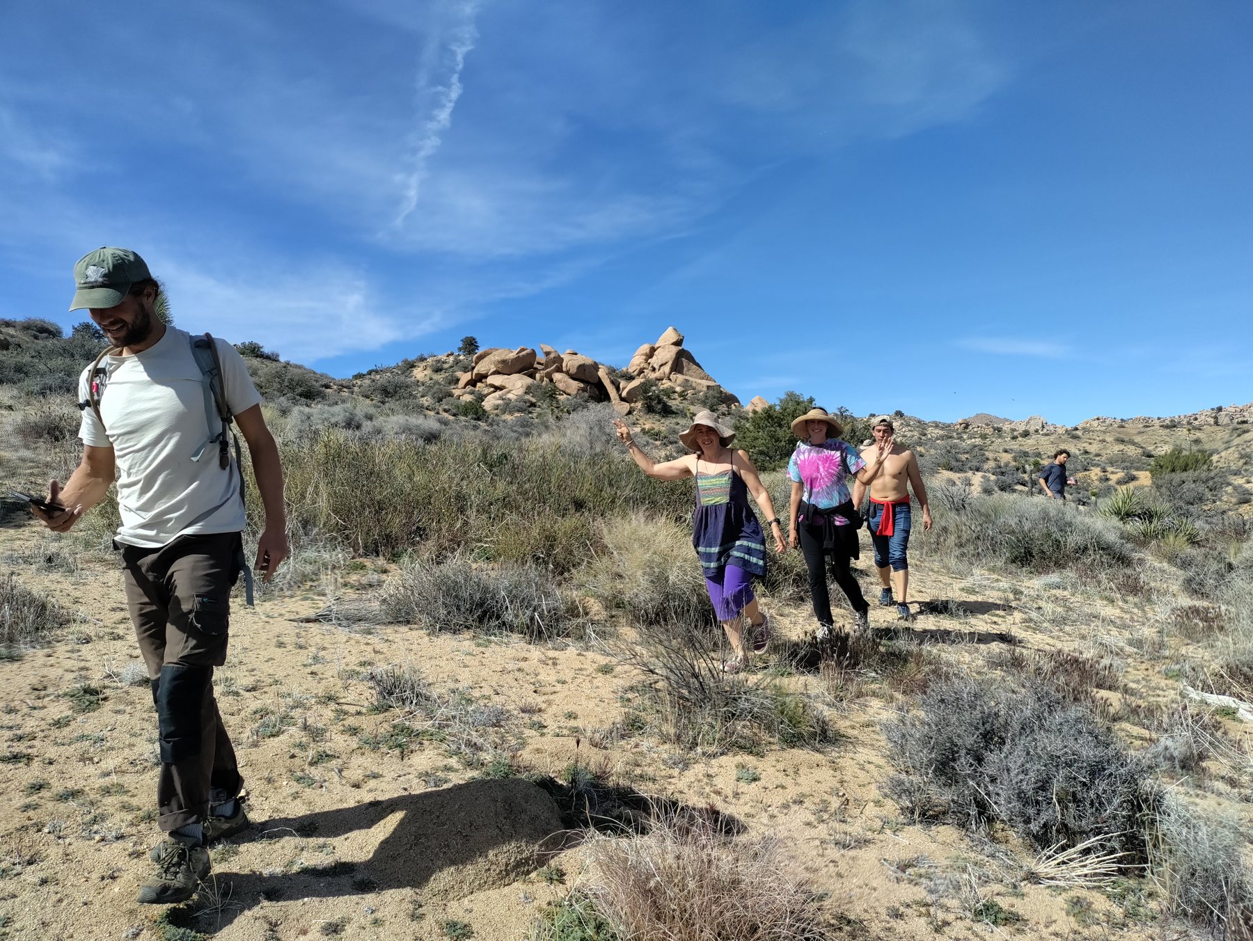
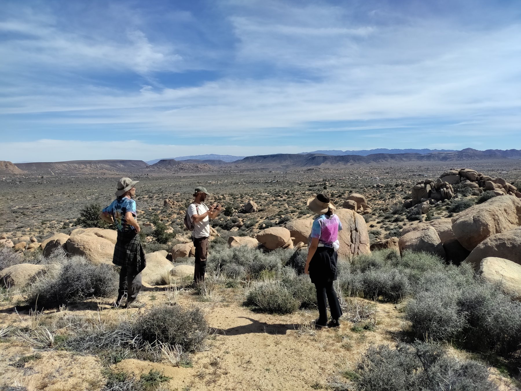
On February 23, 2026, members of the Boulder Gardens community spent the day walking the perimeter of the sanctuary. The route crossed ridges, washes, boulder fields, roads, and open desert around the 640-acre property.
The walk took about eight hours. The distance was roughly six miles—an estimate rather than a recorded GPS track—and the constant climbing and descending made the scale of the land much more tangible than a map alone can.
It was both an observation day and a shared experience: a way to learn the sanctuary by moving through its edges together.
Photographic record
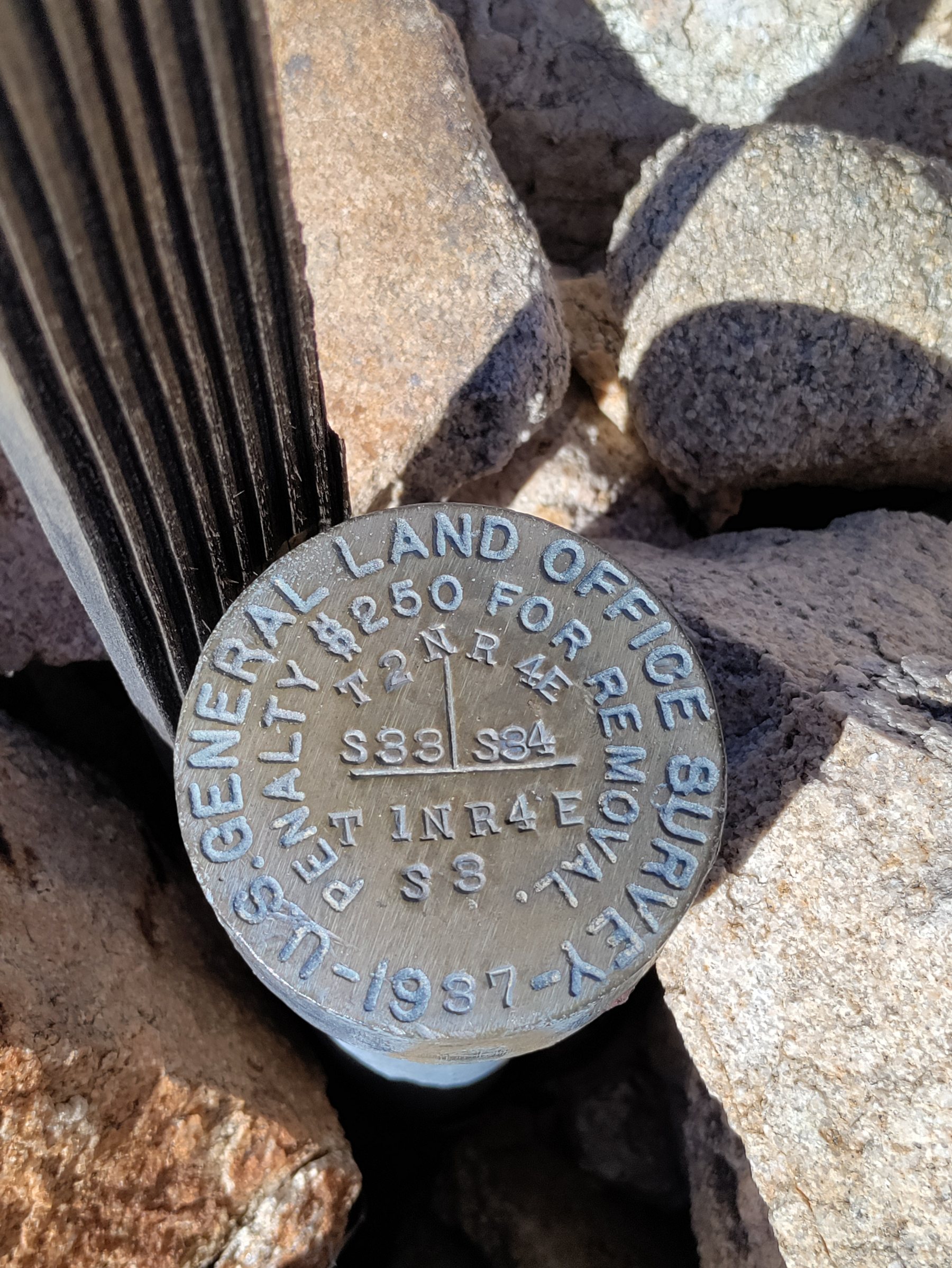
A sequence from the day: setting out, crossing open ground, finding a survey marker, climbing for perspective, and finishing together.
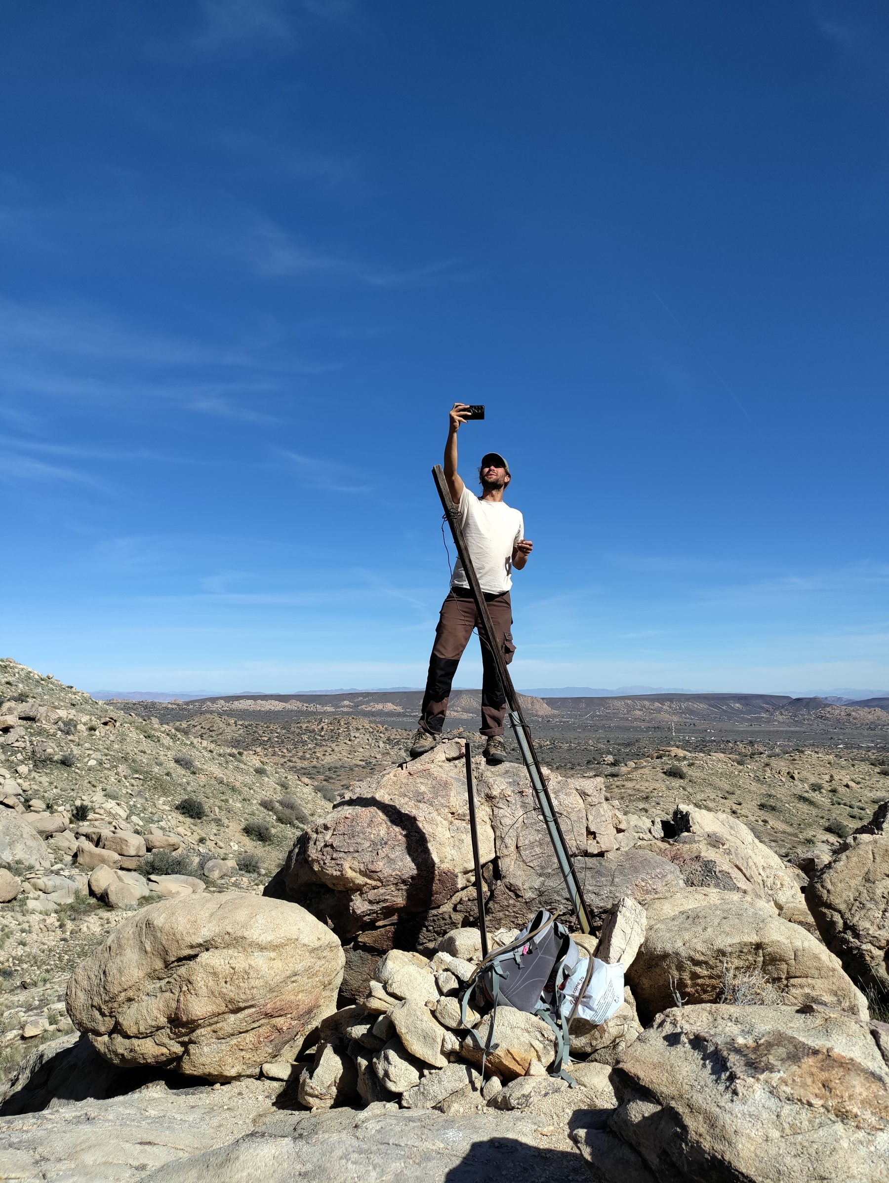
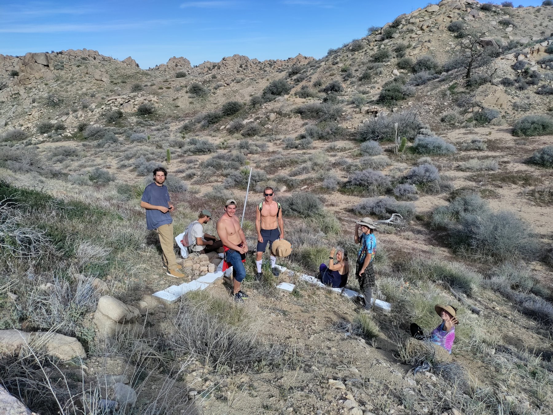
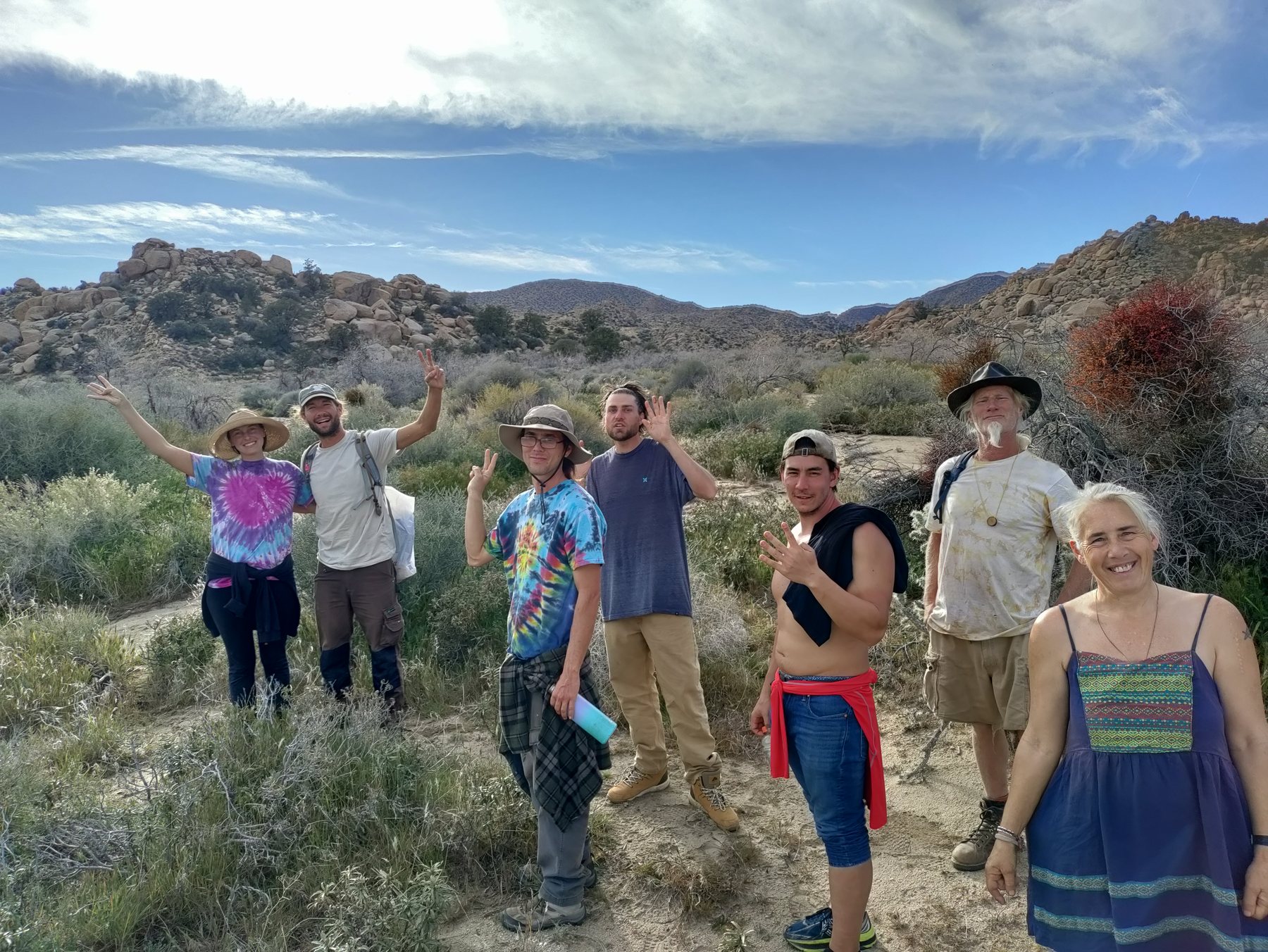
Field note: the approximately six-mile distance is an estimate; no complete GPS track was recorded for this walk. Map reference imagery is included as archival context and has been cropped for the public site.
Reading the landscape
Satellite views reveal relationships that are difficult to see from the ground: ridgelines, washes, roads, boulder fields, neighboring parcels, and the small inhabited core within the much larger sanctuary.
The sanctuary begins to make sense when it is seen as part of the larger desert.
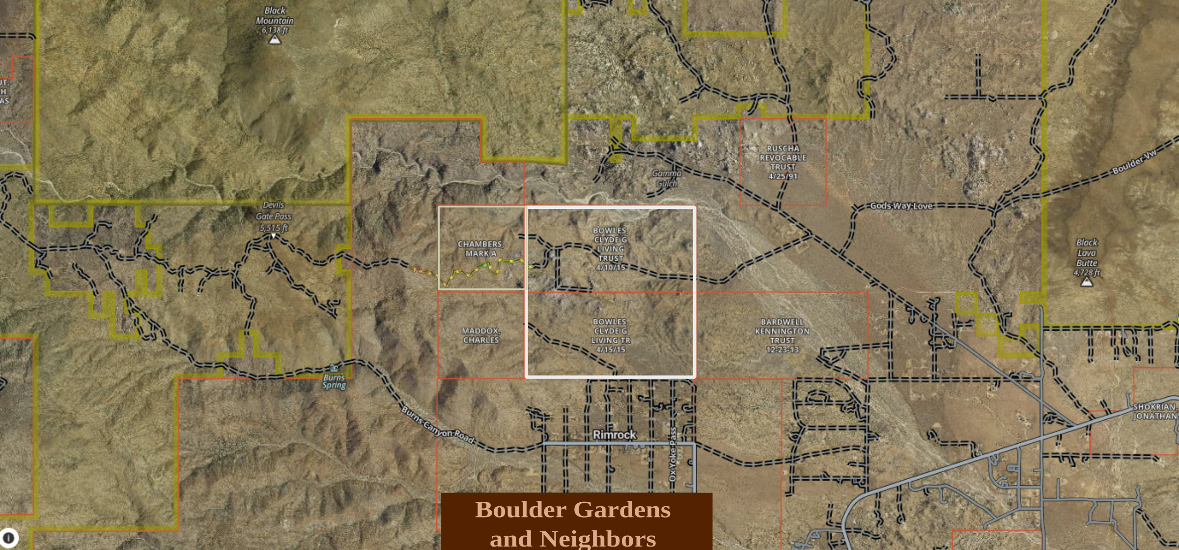
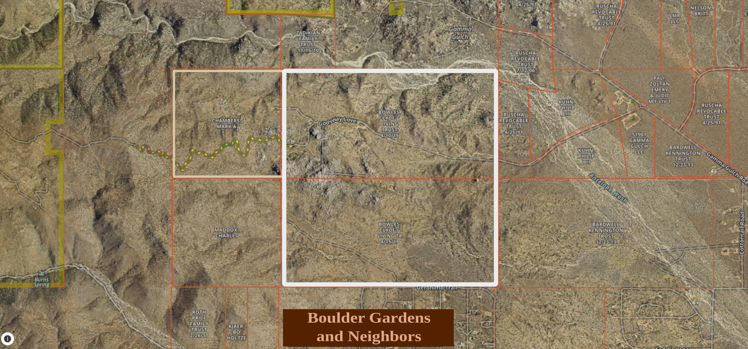
At this scale, roads and boulder formations begin to reveal the internal structure of the sanctuary.
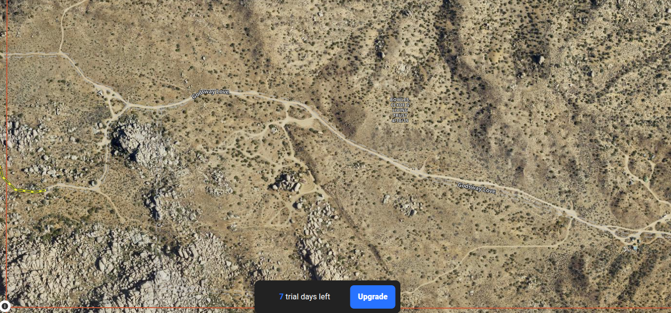
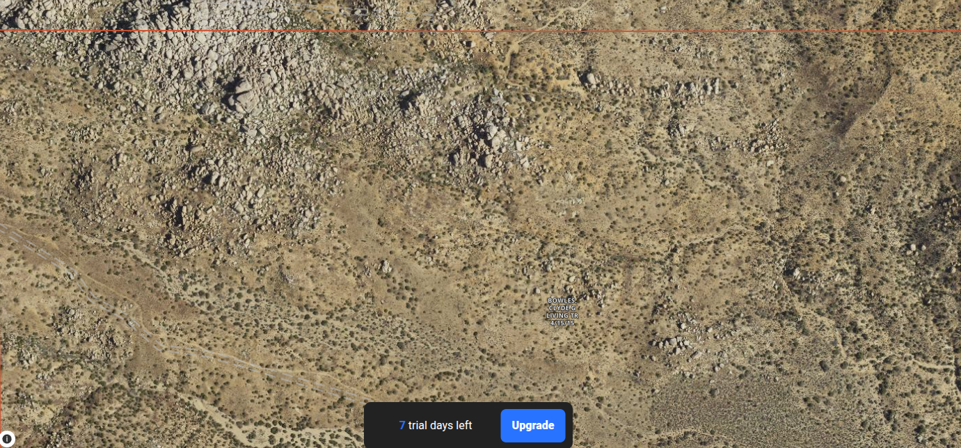
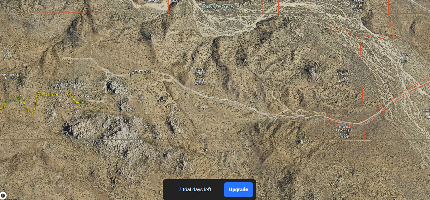
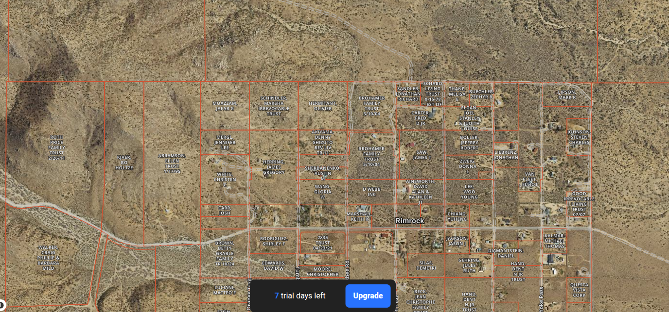
Closer views show how lightly roads, structures, gardens, and gathering places sit within the granite landscape.
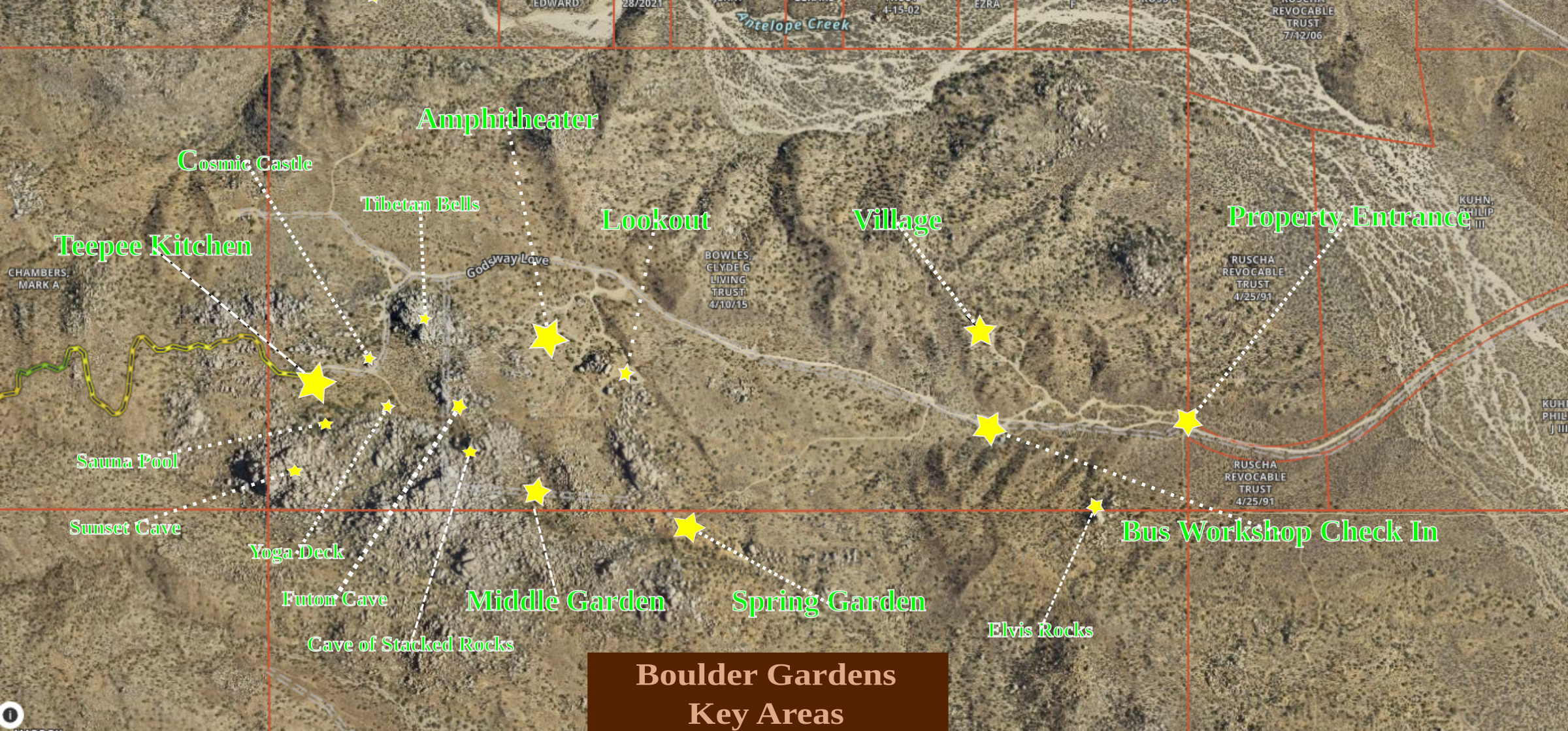
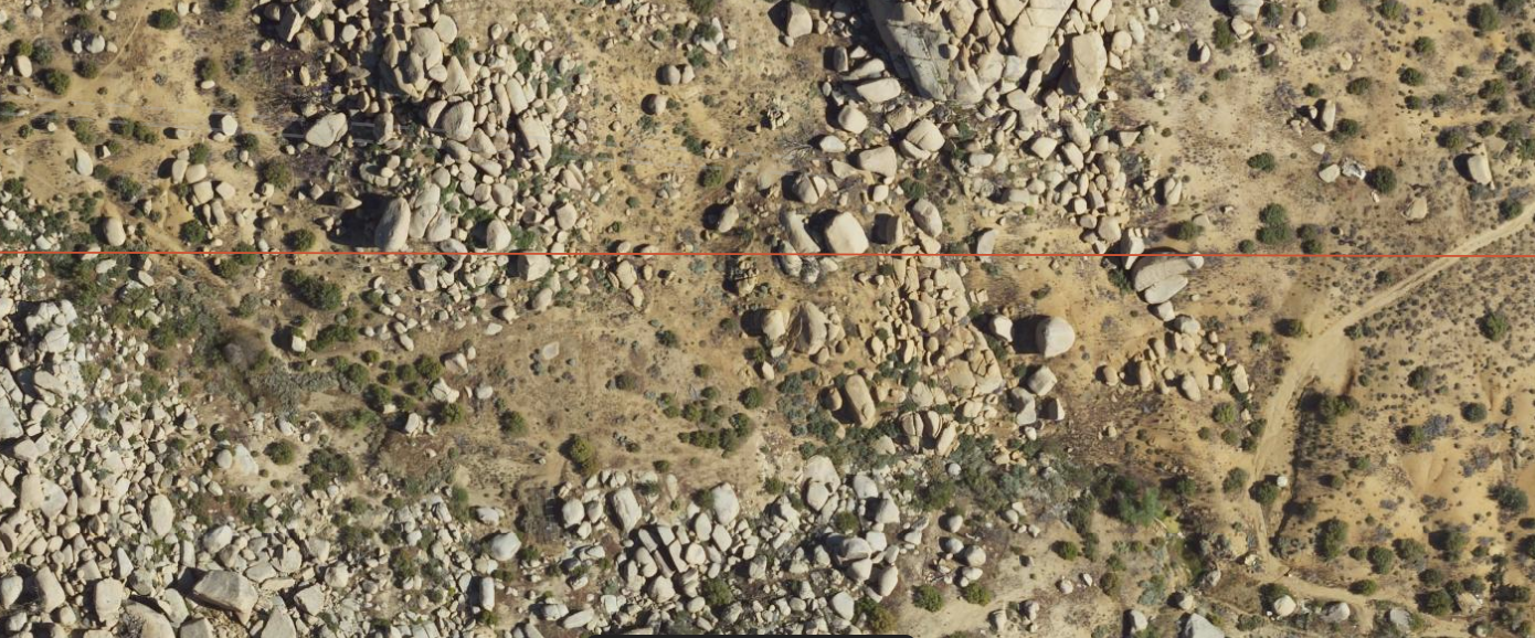
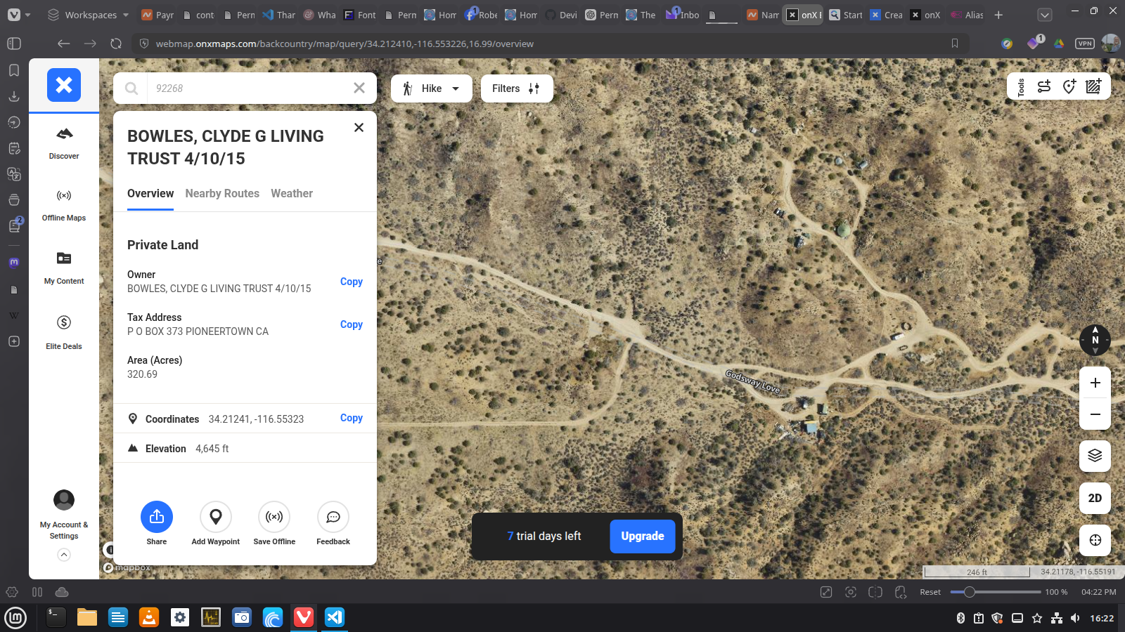
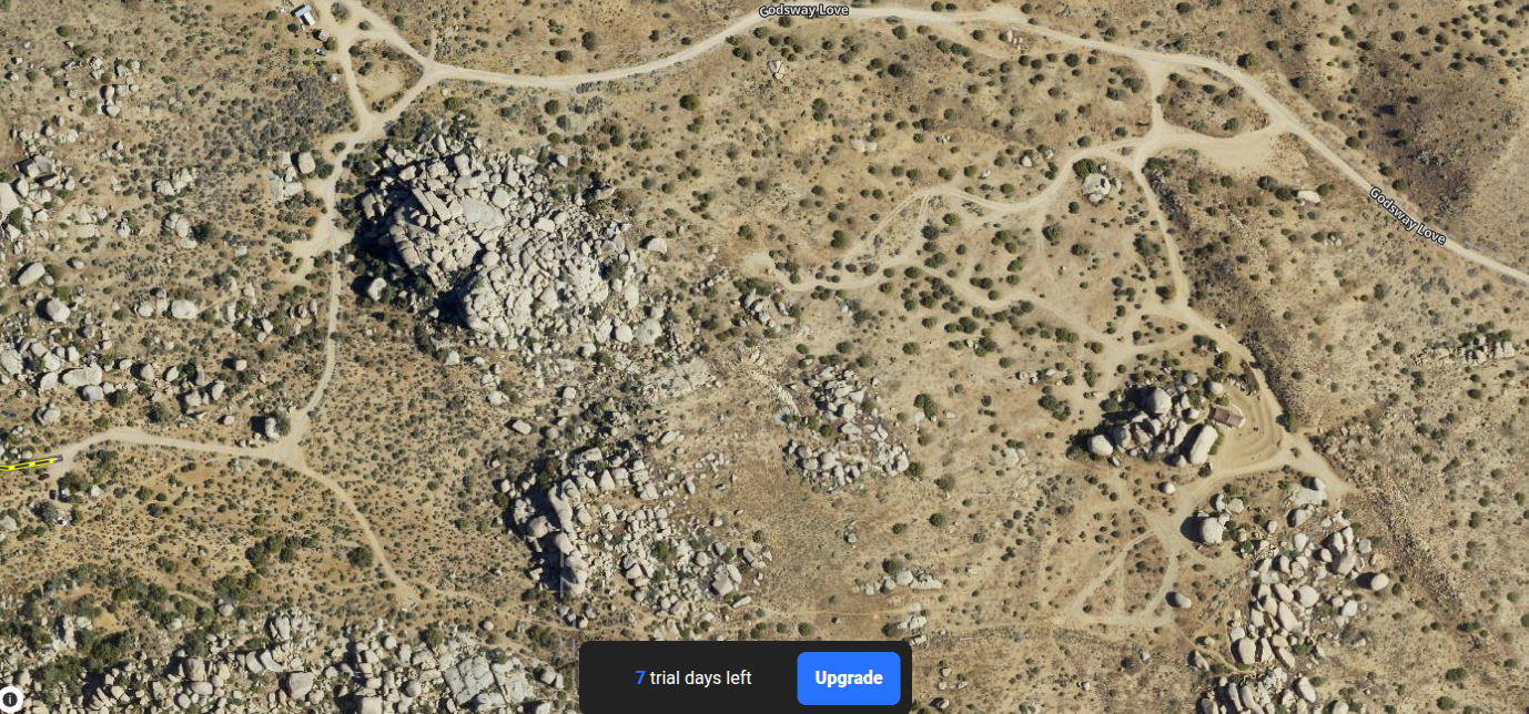
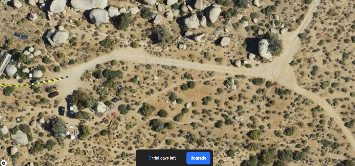
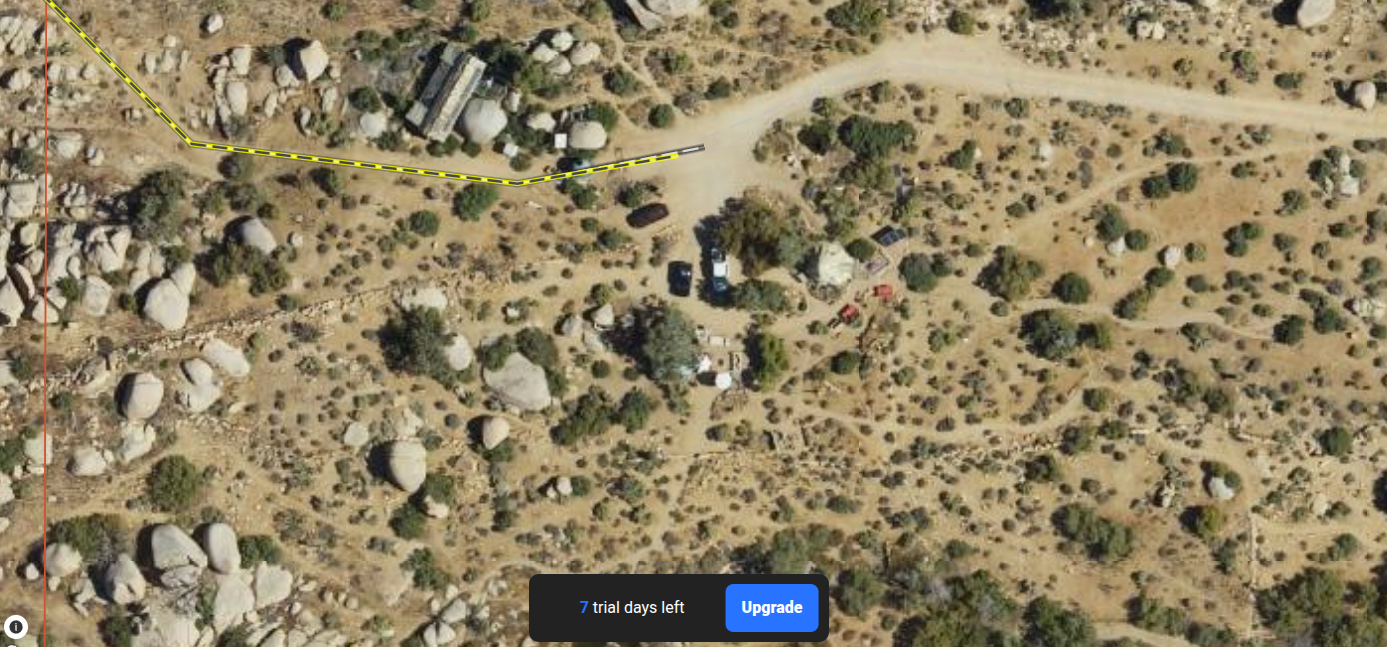
Map note: Satellite and parcel imagery is used here as field-reference material. The overlays are contextual rather than surveyed site plans.
Field Reports
Land & Ecology · Boulder Gardens Sanctuary
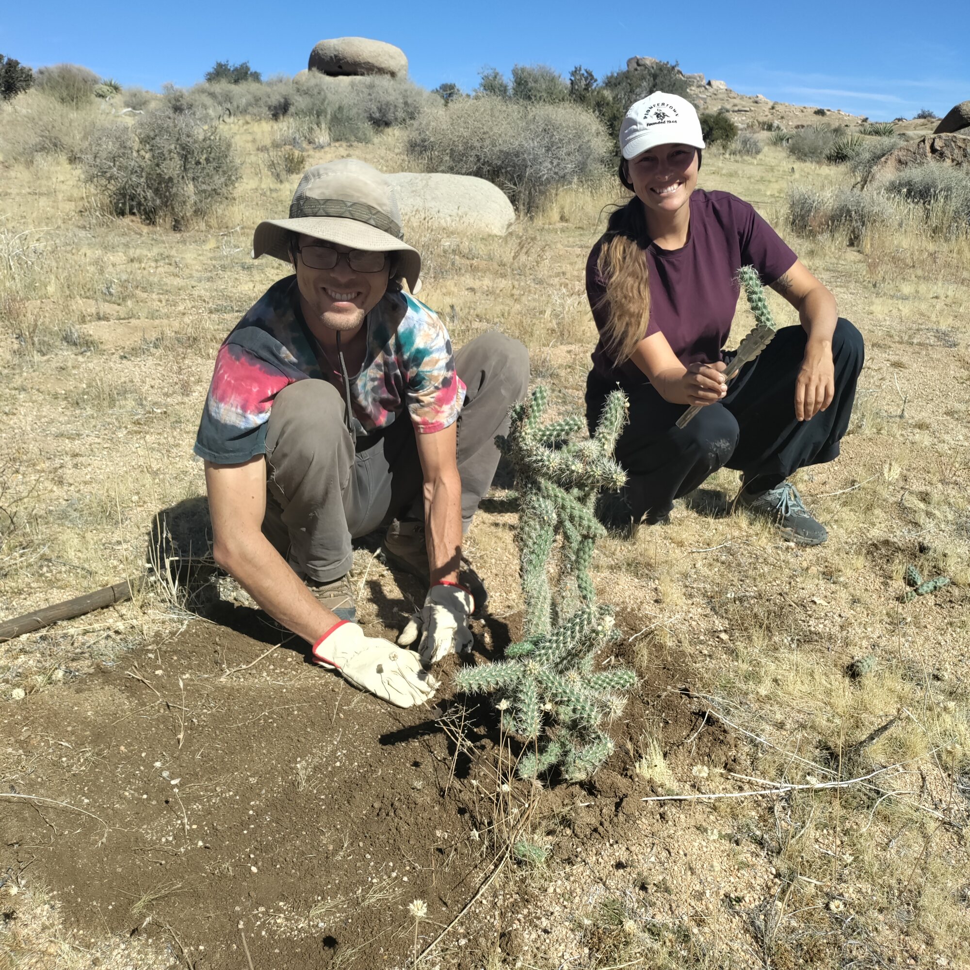
After our Wednesday Meeting we all got together to relocate several native cholla cacti from one part of the property to another.
Read the full observation →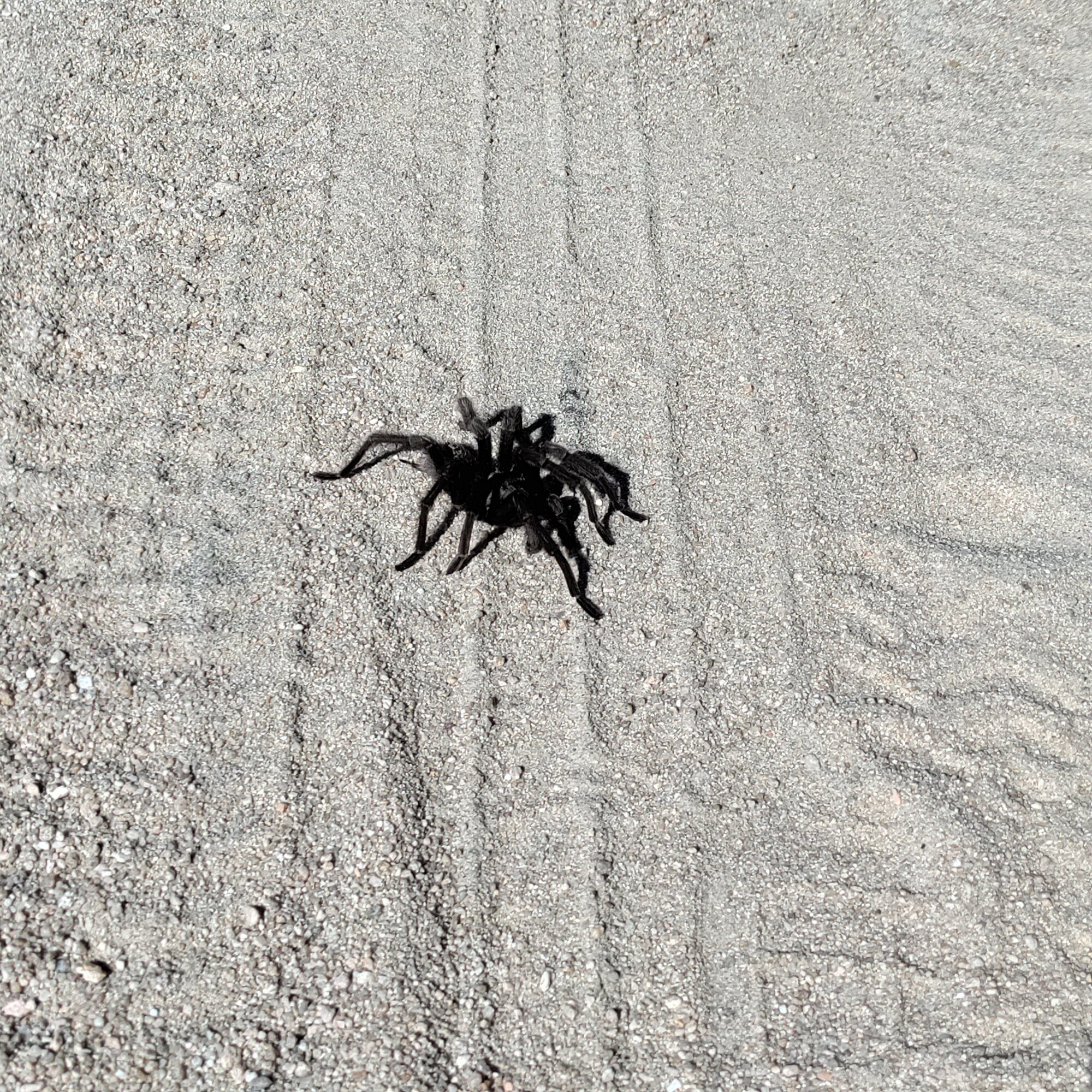
Land & Ecology · Boulder Gardens Sanctuary
Two large desert tarantulas were observed at Boulder Gardens during the autumn wandering season.
Read the full observation →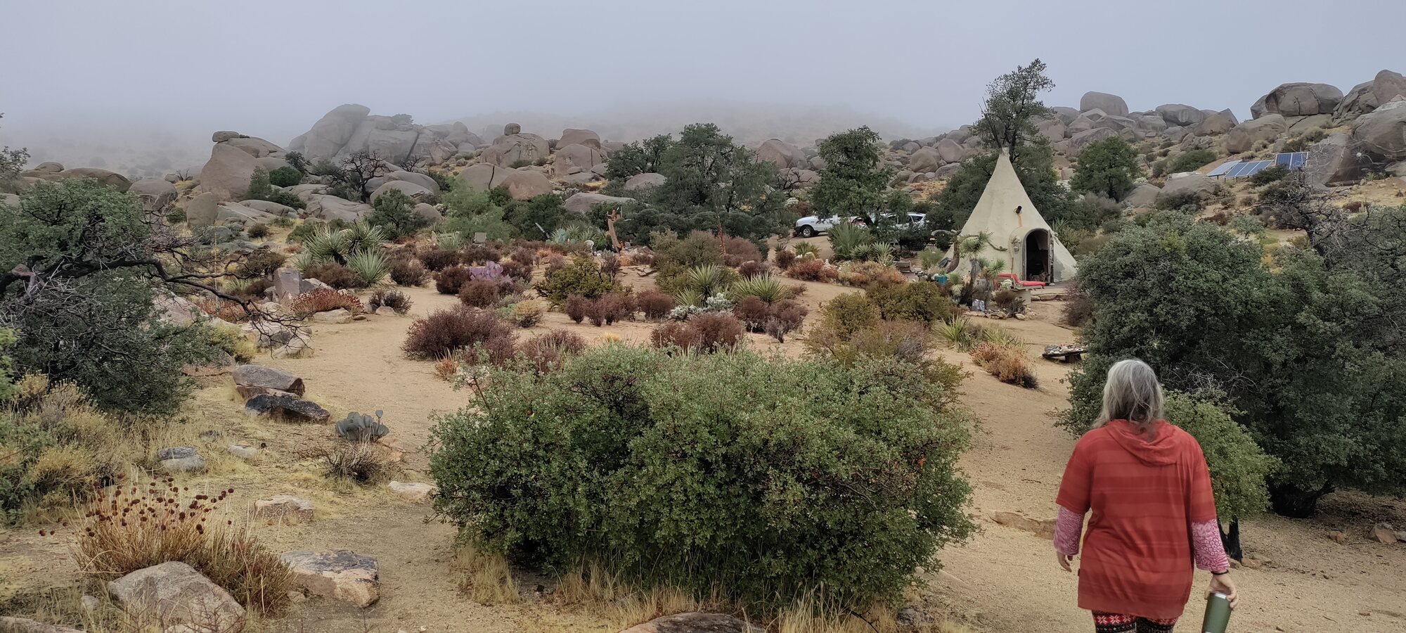
Land & Ecology · Boulder Gardens Sanctuary
About 2 Inches of rain, and then some really cold windy days.
Read the full observation →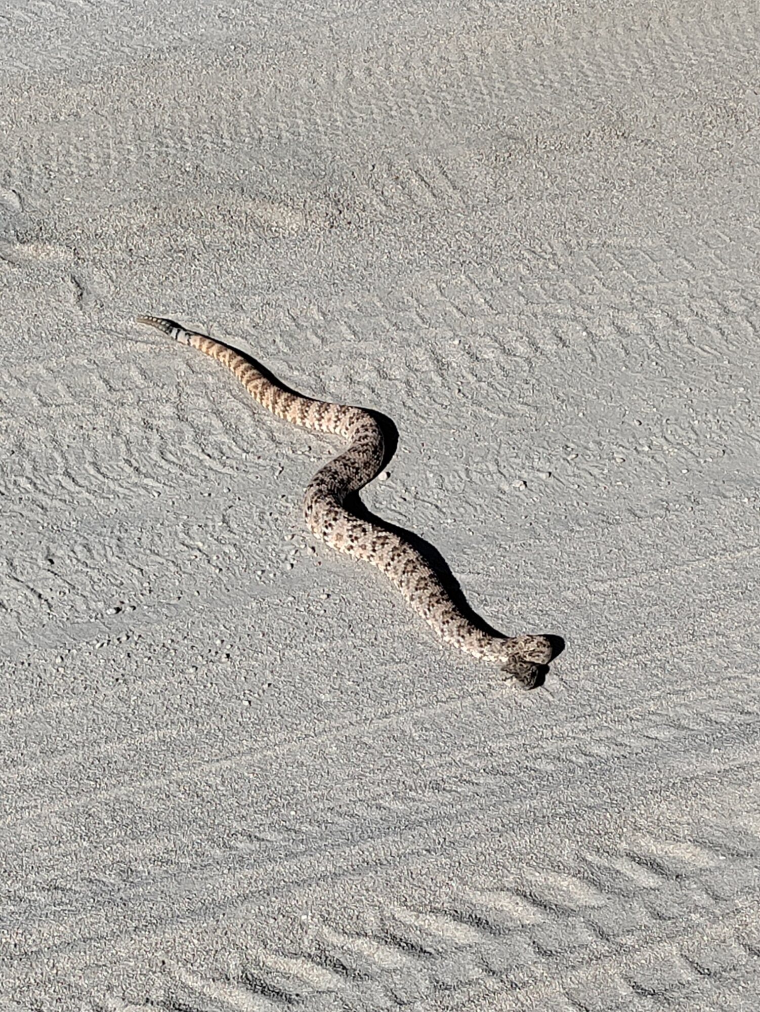
Land & Ecology · Boulder Gardens Sanctuary
Snakes at Boulder Gardens.
Read the full observation →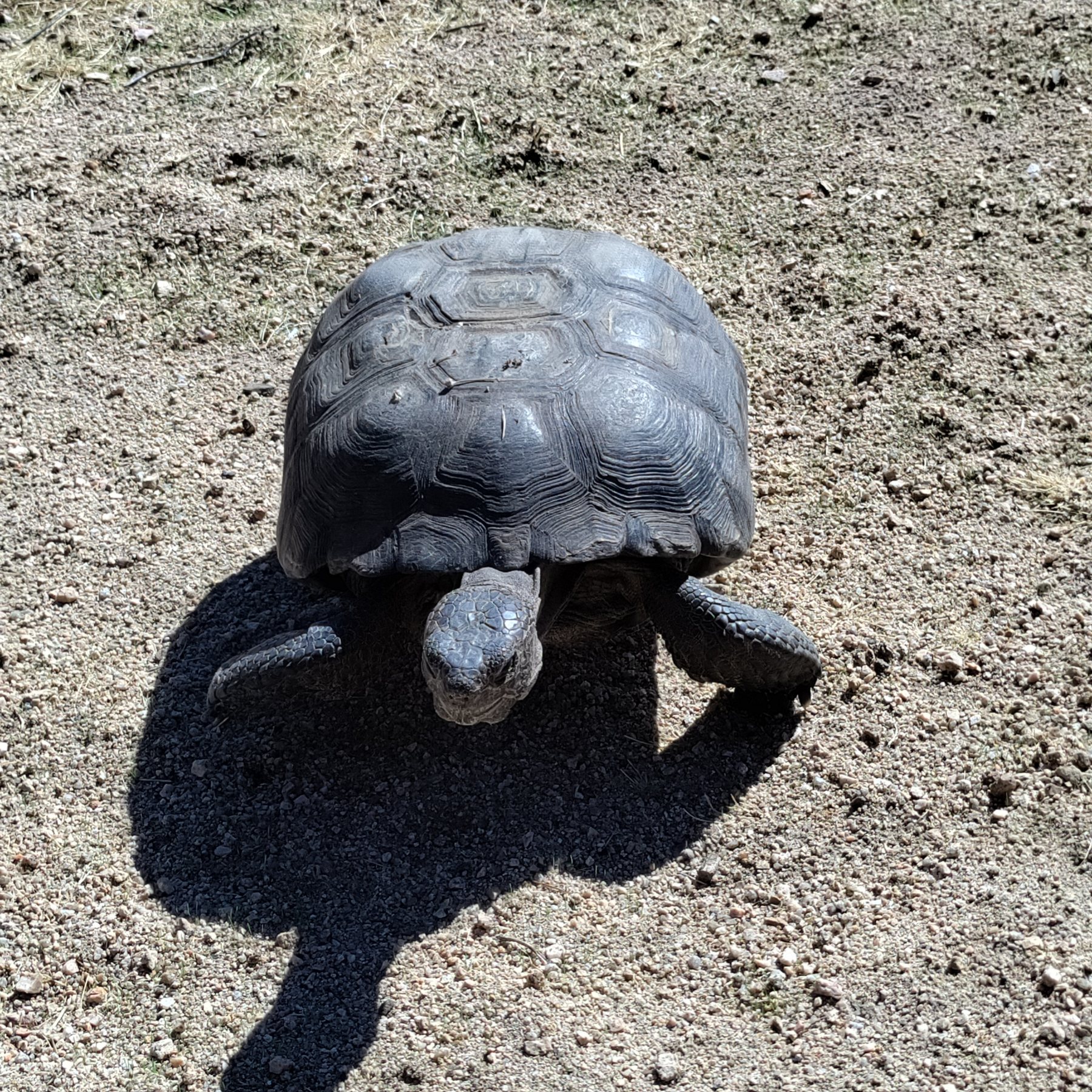
Land & Ecology · Village
Desert Tortoise First sighting for a lot of us
Read the full observation →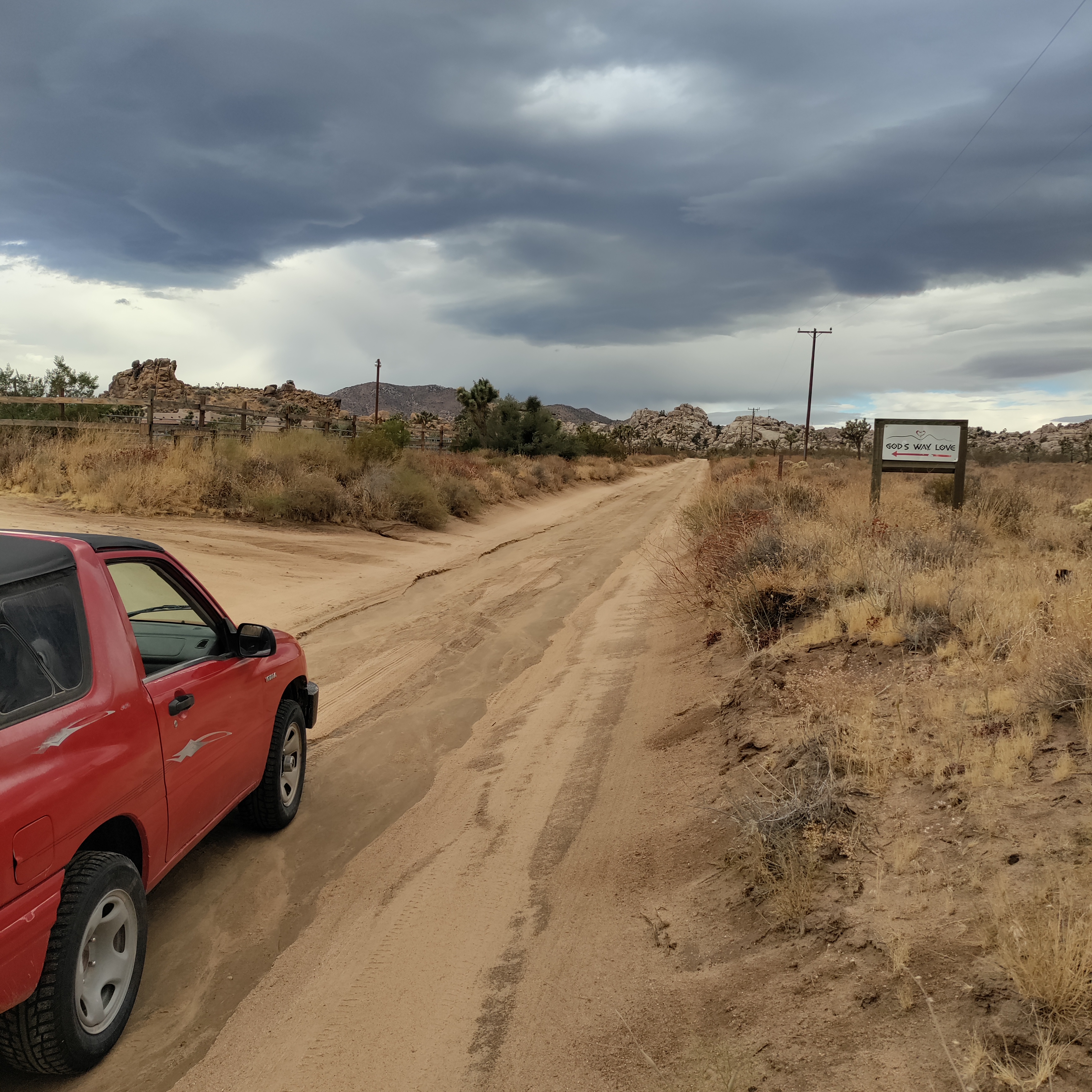
Land & Ecology · Boulder Gardens Sanctuary
Tropical Rain Reaches Boulder Gardens September 6–7, 2026 An unusually strong early-September rain event for the Mojave Desert, delivering roughly half an inch of rain — more than the area typically receives during the entire month of September.
Read the full observation →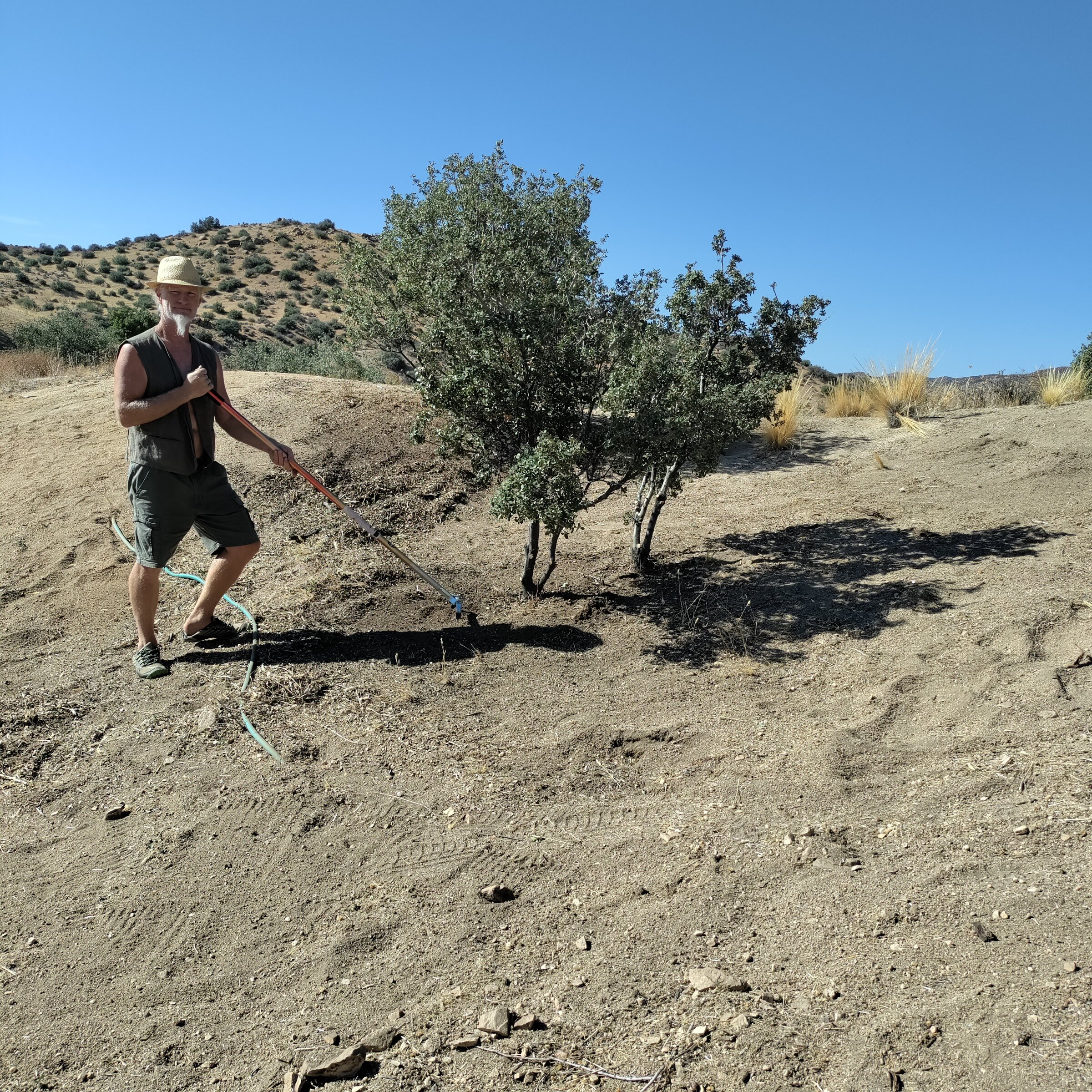
Land & Ecology · Village
Fire clearance around my place in the Village.
Read the full observation →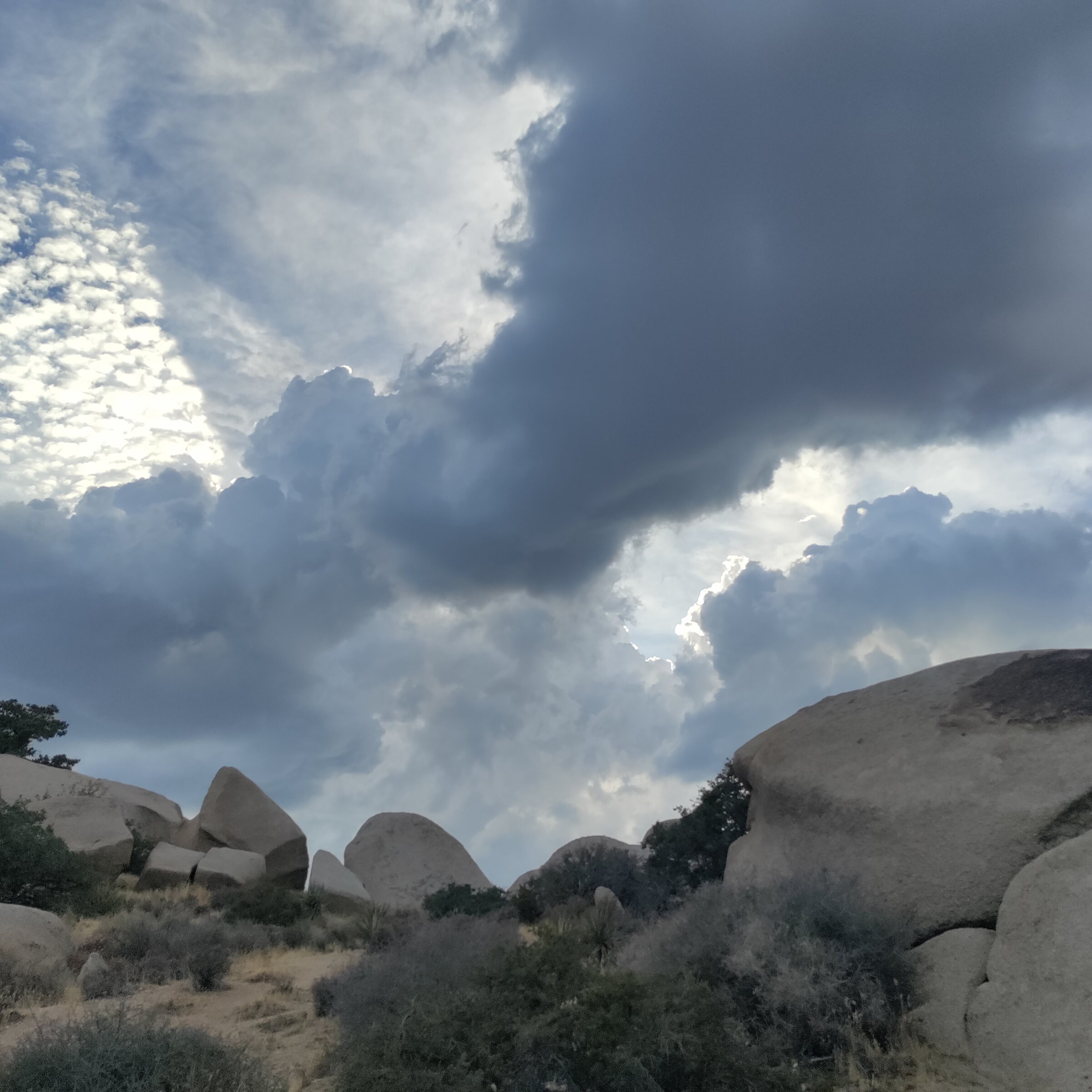
Land & Ecology · Everywhere
Change of Weather.
Read the full observation →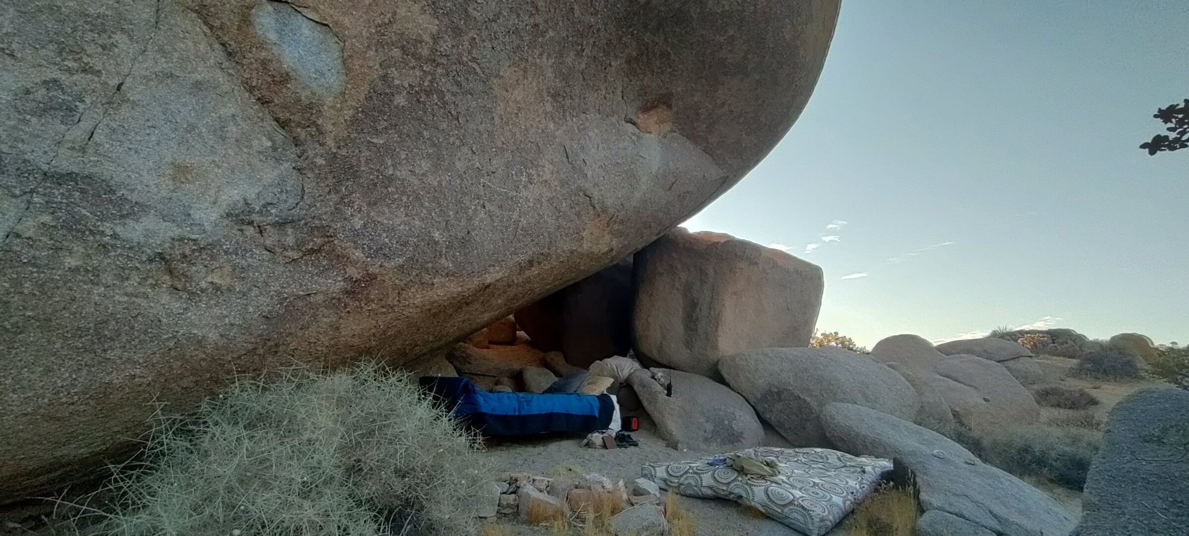
Land & Ecology · Teepee
I spent 4 nights in one of our border caves, under a huge rock. These talus caves are one of the main features of Boulder Gardens, and they are scattered around everywhere. more information on Talus Caves are here. https://en.wikipedia.org/wiki/Talus_cave
Read the full observation →